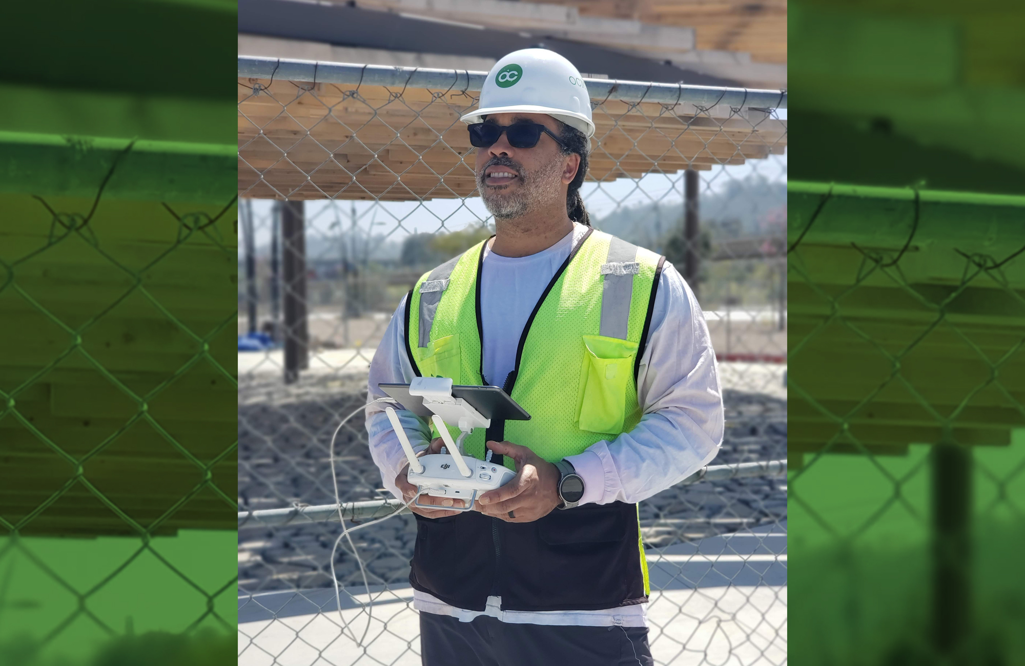
Meet Justin Dorsey, artistic photographer and construction manager turned drone enthusiast
Opportunity can really come from anywhere. When Justin got his first drone (Unmanned Aerial Vehicle) he never expected it to become important to his professional life. What began as a way to document his island honeymoon adventure for family and friends, turned into an effective and innovative way to enhance OCMI’s construction management services for San Diego State University.
Justin was managing capital construction projects for SDSU in 2020 when the merging of his passion for photography and profession of Construction Management came together. In the beginning Dorsey used his personal drone to gain a bird’s eye view of an active construction site. He realized with the right software this tool could harness the data from the images and provide valuable metrics to allow stakeholders to make better informed decisions. The software he selected allowed the reality capture of the jobsite to be performed faster and with increased accuracy. “Back when I was flying a drone as a photographer, I was just taking artistic photos or getting creative hard to reach spots that I wanted to capture and illustrate. These photos were great for viewing purposes but really didn’t provide value to stakeholders.”
Enter Site Scan for ArcGIS, which is cloud-based, drone mapping software that’s designed for imagery data collection, processing, and analysis. Dorsey found it to be the best choice for several reasons, including the tools that came with it, and it being drone agnostic, as well as its scalability. “ESRI’s Site Scan fit the bill for what we were looking for as a drone solution, and the capability of using with any UAV, gives me the flexibility to scale. I can see this tool aiding all of OCMI’s current core services as well as being a stand-alone offering,” explains Dorsey.
A true test for the success of Justin’s idea? Applying Site Scan to assist with managing the construction of a new stadium for the San Diego community. The new Snapdragon Stadium has a capacity of 35,000-seats for San Diego State Aztecs fans and the community to enjoy Aztec football games, San Diego Wave soccer games, and many other public events. “The old Jack Murphy Stadium was a relic to San Diego residents, so it was quite a big deal that the stadium where so many memories were made was being replaced. Understanding the gravity of this . . . we understood we had to knock it out of the park with the new stadium.” says Dorsey.
After receiving airspace authorization to fly, Dorsey began flying his drone every Thursday to take shots and capture the project site. “The datasets were large, about 700 to 900 photos per mission, providing an enormous amount of information.” Once the data is processed, he is able to extrapolate valuable metrics such as elevation models, topographic surveys, cut and fill reports, volume calculations, and variances between the design file and the current conditions of the site. He shares a weekly distribution report with stakeholders that shows progress on the site which includes an updated site plan, a link to a 2D orthomosaic file, and a 3D mesh model that lets users remotely traverse the construction site. Stakeholders don’t have to leave their desks at home or the office to see how the project is progressing. This new tool was highly useful during the COVID-19 pandemic.
Dorsey appreciates the ability to create various models utilizing Site Scan. He recently used it to complete a topographic survey of the site where a new women’s lacrosse field will be located on the San Diego State University main campus. Using surveyed ground control points of the lacrosse field, he completed a drone flight in approximately 20 minutes and was able to immediately process the data to create the survey. Using a plane or helicopter to fly the same mission may cost $8,000 to $10,000, so the use of a drone and Site Scan led to significant cost and time savings. He’s able to shoot the 160-acres Mission Valley site in less than 1 hour with Site Scan versus hours or even days using other digital scanning technologies.
“I frequently get requests from clients that ask, ‘Hey, can I get the latest version of the new site plan? Was last Friday the latest capture or do you have something more current?’ It’s created a sense of awareness of the construction process and excitement around the progress. This happens to be one my favorite parts of using this new technology. Click here to view the full article at esri.com.
…We are on the forefront of the use of Artificial Intelligence and drone technology in construction. The sky is the limit on where we go from here!” says Dorsey.